Built for Surveyors. Backed in America.
SmartDrone develops drone mapping products, workflow software, and on-demand services for survey teams that need accurate data, reliable support, and a practical path into aerial mapping.


Why We Exist
Survey firms face staffing pressure, tighter timelines, and growing demand for faster insights. SmartDrone exists to make aerial mapping easier to adopt and easier to trust.

Best Fit
Topographic mapping, orthomosaics, volumetrics, planimetrics, vegetation-heavy sites, and repeat-work environments.

Industrial Warehouse
Large commercial structure with parking and access roads—demonstrates precision in extracting buildings and infrastructure for civil design.
.avif)
Neighborhood + Commercial
Mixed-use development with roads, buildings, and utilities—great for viewing linework generation overlaid on LiDAR and ortho data.

Quarry
Highly detailed terrain modeling of an active excavation site—perfect for evaluating elevation data and feature clarity in rugged environments.

Land Development
See how LiDAR and orthophoto integration supports early-stage development projects with visible site prep, grading, and infrastructure.

Farm Land
Terrain with minimal ground cover—great for evaluating clean contour lines and filtered LiDAR returns on agricultural sites.

Wooded Hillside
Challenging elevation changes and dense tree cover—great for seeing how we handle vegetation filtering and terrain modeling.
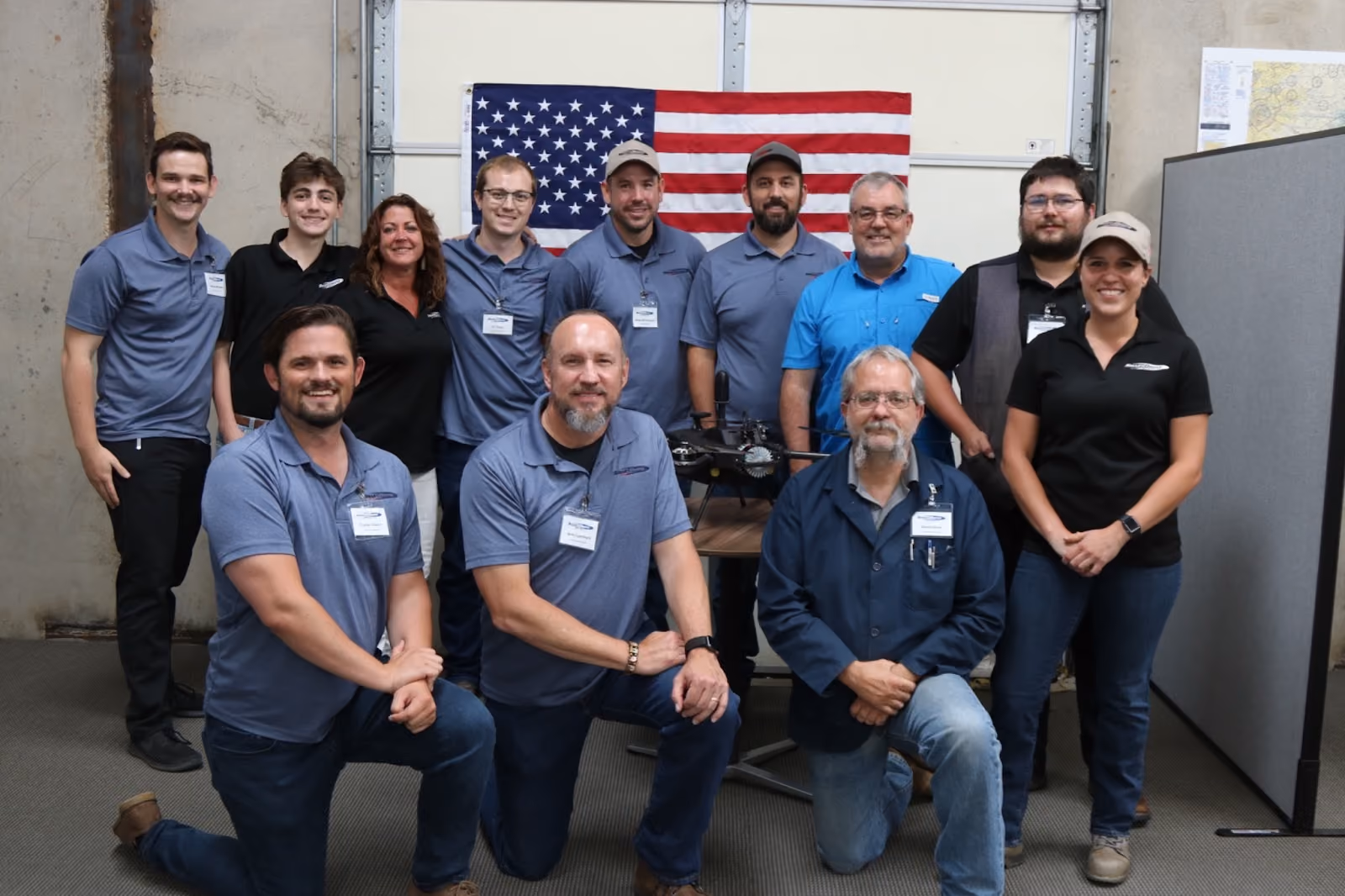
Meet Our Team
Get to know the talented individuals behind our company.