Products Overview
Survey-Grade Drone Mapping Products for Land Surveyors
Choose the path that fits your workflow: buy the platform, process with confidence, validate work in the field, or combine products with on-demand services.
Our Platform
The Complete Drone Surveying Platform Built for Professional Surveyors
Hardware, software, processing, quality control, training, and support. Everything you need from a single trusted partner.
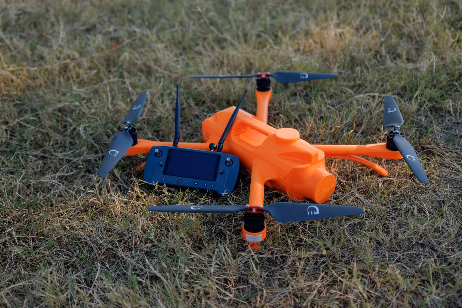
Step 1: Capture
American Made. Survey Grade.™

Survey Drone Platform
Survey-grade LiDAR and photogrammetry drone built for land surveyors.

Step 2: Validate
Cover Your Ass(ets) Now

In-Field Validation
In-field QA tool to catch issues before crews leave the site.
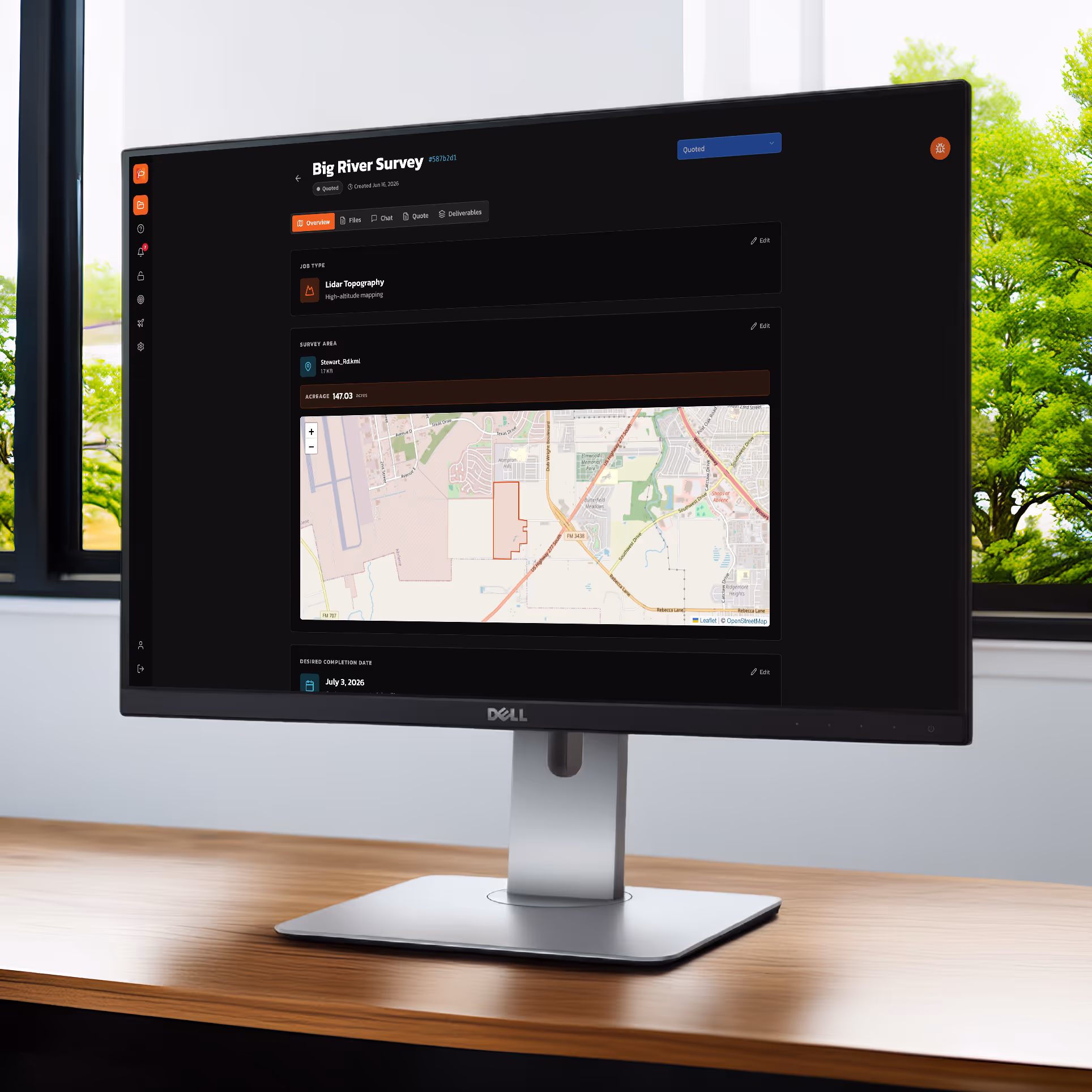
Step 3: Process
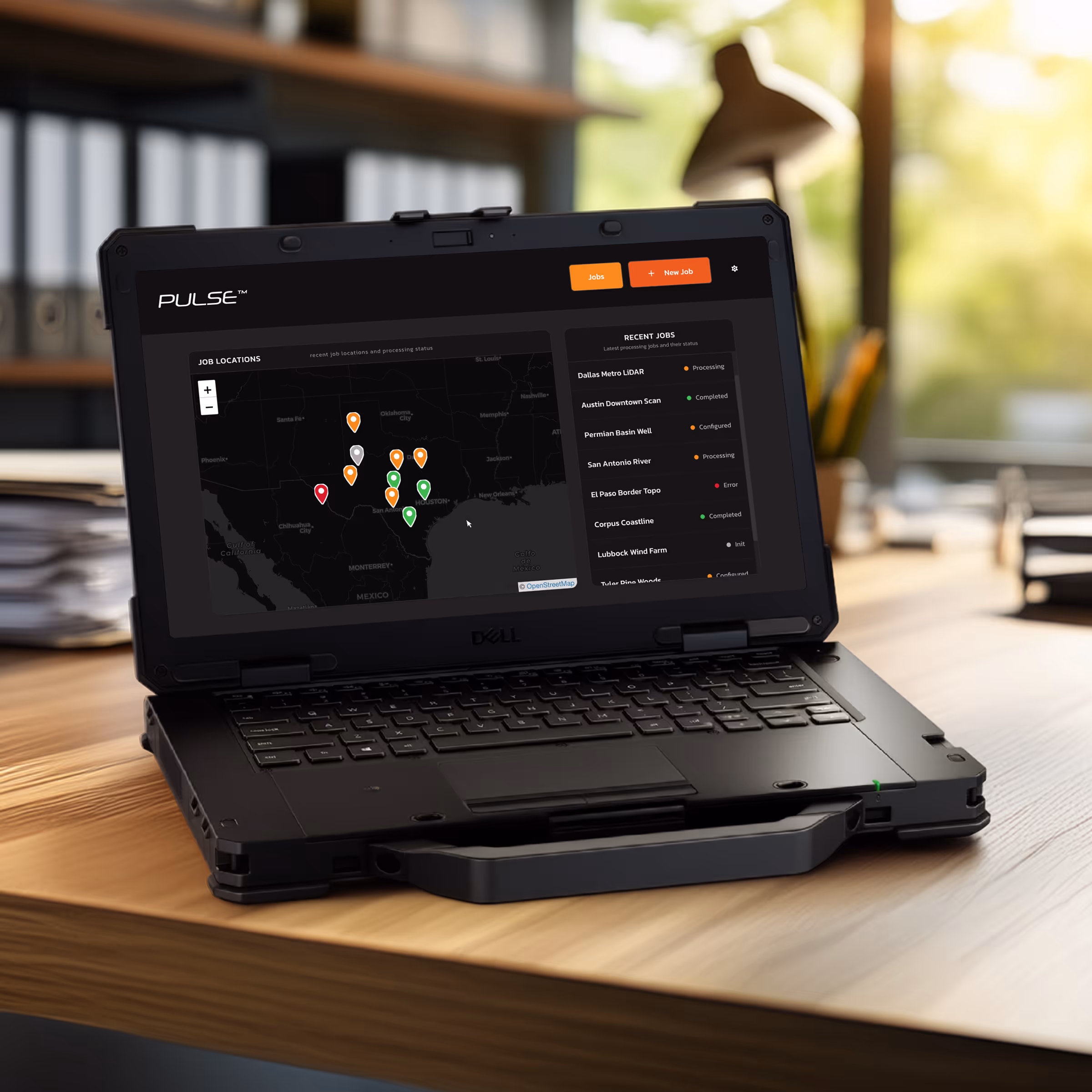
You Process Data

Data Processor
Process data and manage projects internally.
OR
We Process Data For You

Data Services
Leave the data processing to the experts.
Available to Magellan™ Members
Step 4: Deliver
The End Goal
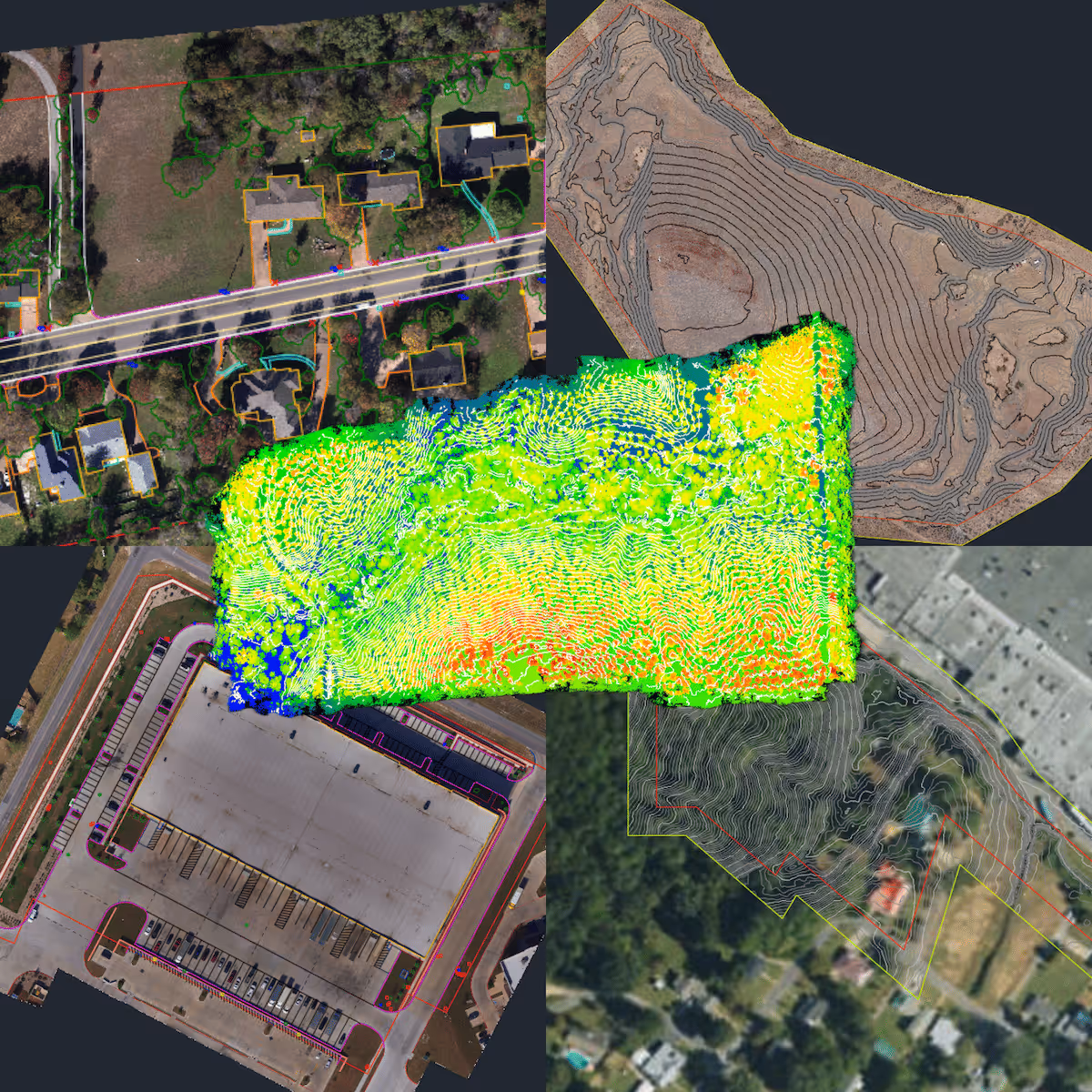
Survey-Grade Deliverables
Topographic maps, surface models, contours, and CAD-ready files your clients need to keep projects moving.