
How Membership Works
From onboarding to final deliverables, Membership gives your team the tools, training, processing, and support needed to start delivering drone surveying projects faster.
Focus on Surveying. We'll Handle the Rest.
Membership combines hardware, software, training, processing, and support into a single platform designed to help survey firms adopt drone technology without building an internal processing team.
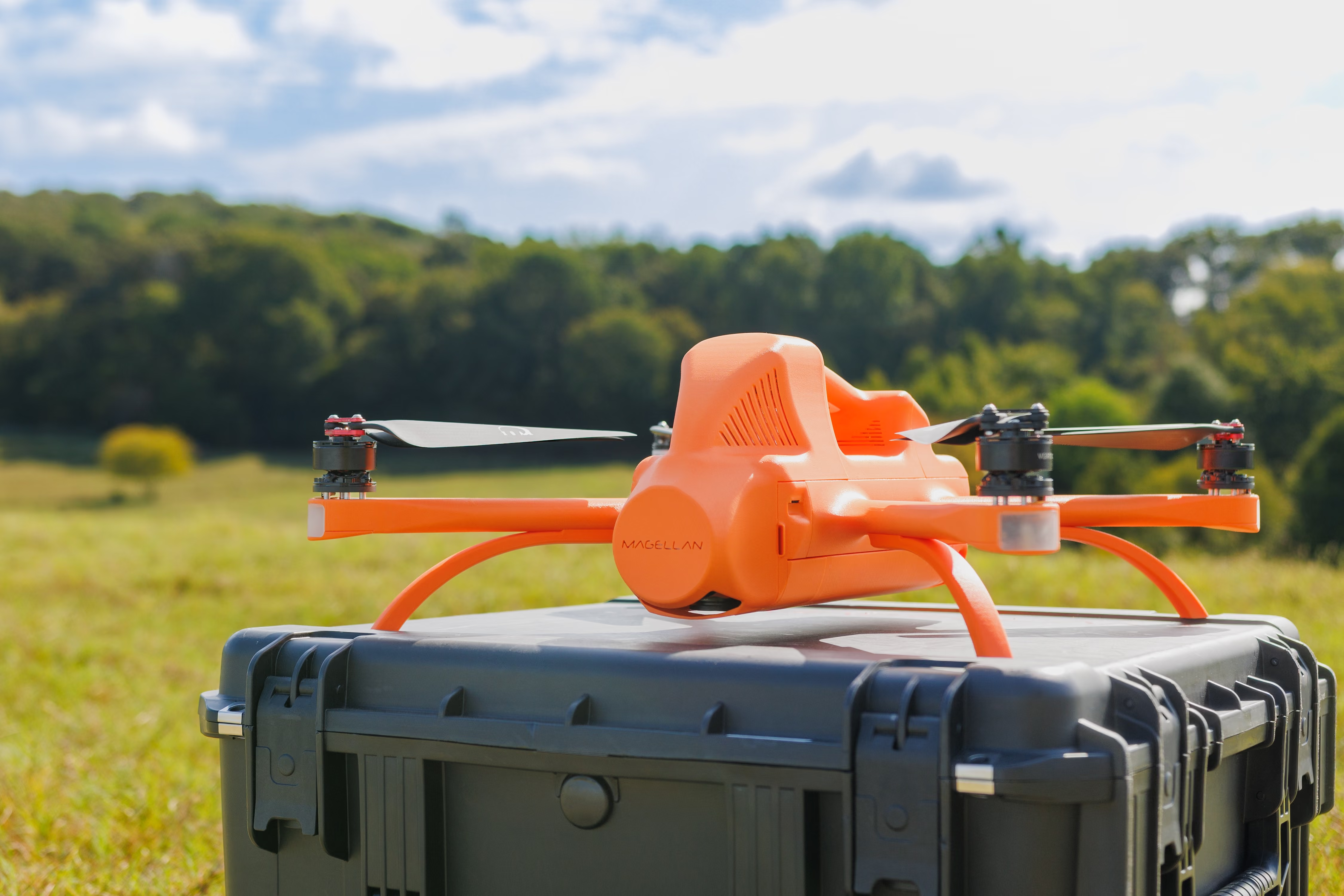
Hardware Included
Get access to the Magellan platform and supporting software.

Expert Processing*
Our team handles the processing so your team can stay focused on projects.
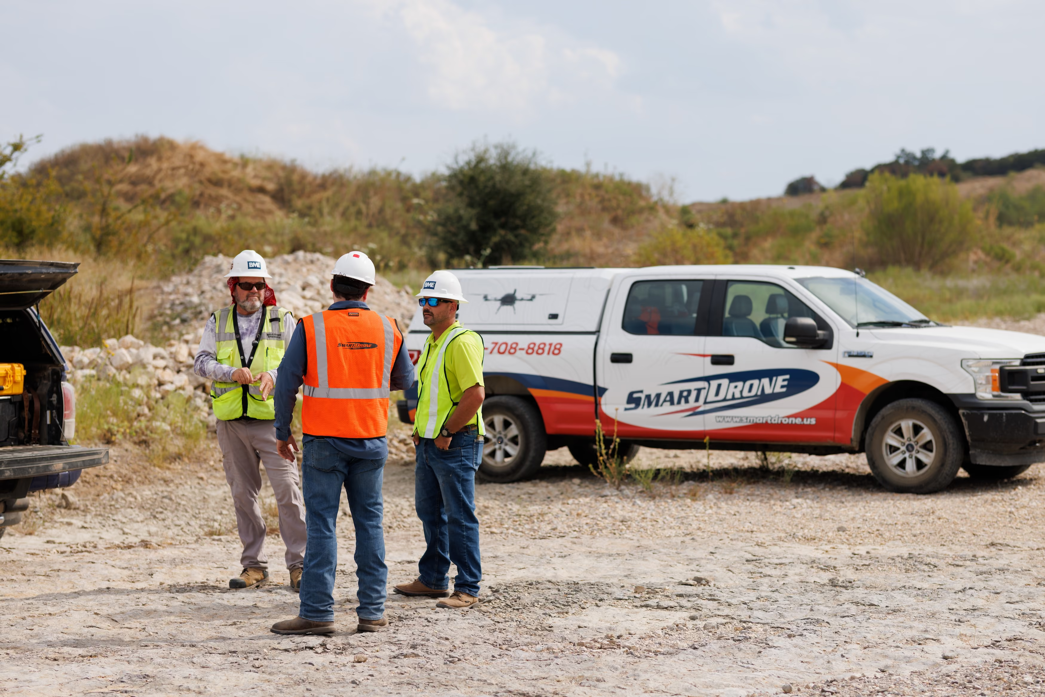
Ongoing Support
Training, onboarding, and priority support are included.
From Project Setup to Final Deliverables
Create Your Project
Create a project in and provide basic project details. Our team reviews the information and generates a processing quote, often the same day.
Receive Your Processing Quote
Review the processing quote and approve it. This gives you full visibility into processing costs before work begins.
Capture Survey Data
Use Magellan™ to collect LiDAR and imagery for the project.
Validate Your Mission
Use CYAN to verify data quality before leaving the site and identify any issues while you’re still in the field.
Our Experts Process the Data
Upload validated project data to PulseCloud where it is securely transferred to our processing team.
Receive Your Deliverables
Our U.S.-based processing team creates the requested deliverables and returns them in the formats needed for your workflow and clients.
Submit Bids Faster. Win More Jobs.
Every project is quoted before processing begins, giving you visibility into costs before work starts.
No Surprises
Know processing costs before work begins, so you can price projects with confidence and avoid unexpected expenses.
Fast Quoting
Receive most processing quotes within 8 hours of creating your project, helping you respond to opportunities and submit bids faster.
Pricing that Wins
We don’t win if you don’t win. Our processing rates are designed to help you submit competitive proposals, protect your margins, and confidently add drone deliverables to your projects.
Processed by Geospatial Experts
Your data is processed by our ASPRS-certified team with extensive experience supporting surveying workflows and deliverables.
U.S.-Based Processing
Data never leaves the United States.
Survey-Focused Expertise
Built around surveying deliverables and workflows.
Consistent Output Standards
Standardized workflows guarantee high quality results.
Data Accuracy Reporting
Feel confident with per project accuracy reporting.

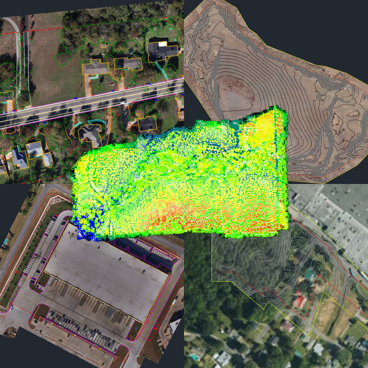
Deliverables Ready for Your Workflow
Receive deliverables in the formats needed for your projects, clients, and internal workflows.
Topographic surfaces
Point clouds
Contours
Orthomosaics
Volumetrics
Watershed & flood plain analysis
Planimetrics (2D linework)
Custom deliverables
Always Fly the Latest Drone Tech
Drone technology evolves. Sensors improve. Workflows get better.
As a member, you'll have the option to upgrade your equipment as we release new drones.
Your system improves as the technology improves.
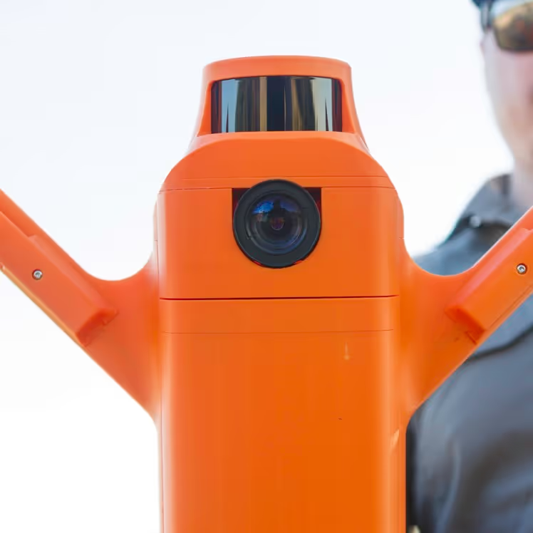
Ready to Simplify Your Drone Operations?
It starts with a quick conversation about your crew and your projects.