
Survey Drone LiDAR & Mapping Sample Data
See the quality for yourself. Explore real-world LiDAR, orthomosaic, terrain, and CAD-ready datasets produced with SmartDrone survey technology.
Survey-Grade Data Built for Your Existing Workflow
.avif)
LiDAR Point Clouds
Ground-classified / filtered point cloud data for topographic surveying and terrain modeling.
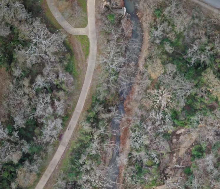
Orthomosaics
High-resolution aerial imagery for site context, feature identification, and project documentation.
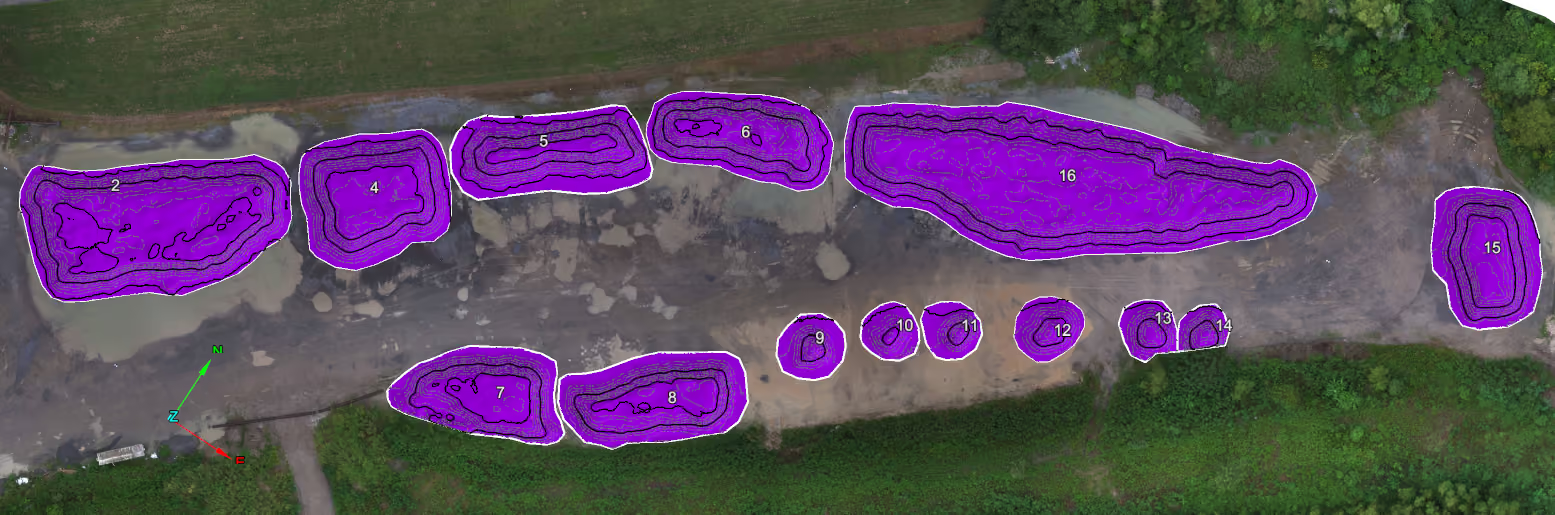
Terrain & Surface Models
Survey-ready elevation data for contours, surfaces, earthwork, and design workflows.
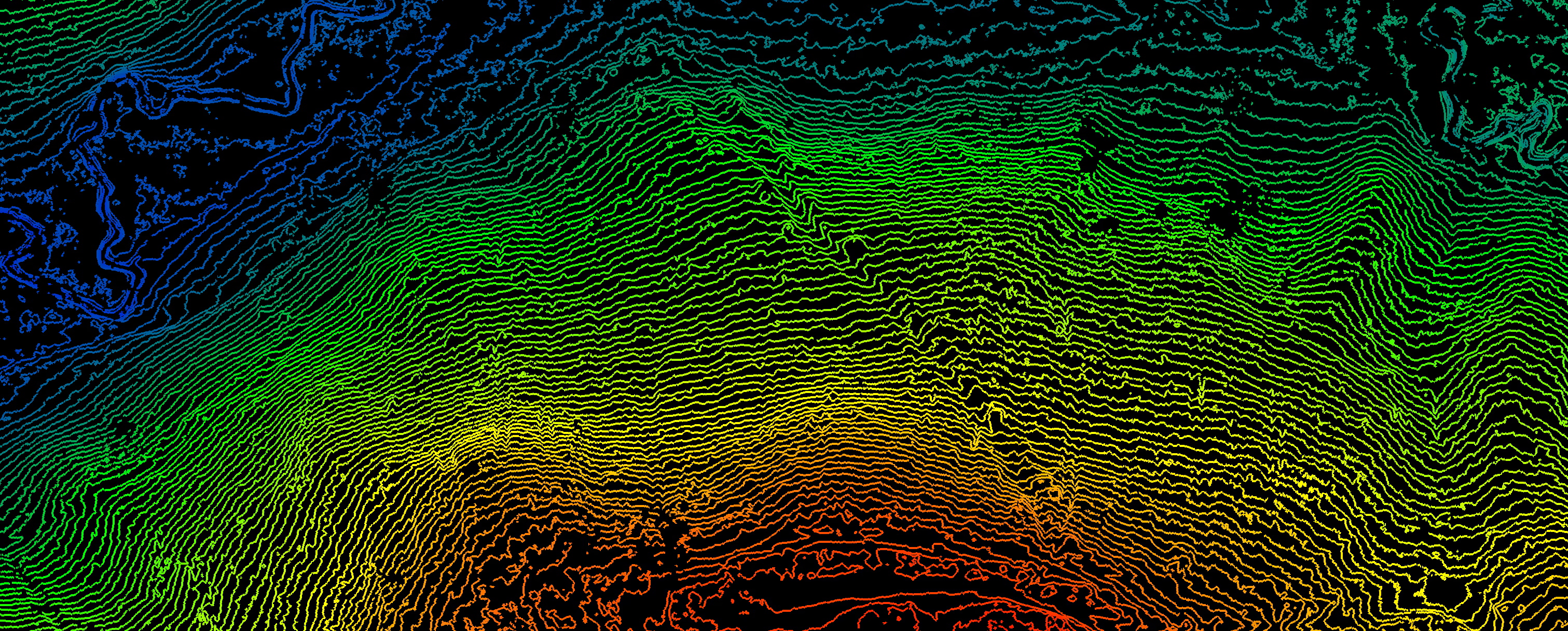
CAD-Ready Deliverables
Outputs designed to integrate into the tools surveyors already use.
Explore Real-World Survey Drone Data

Farm Land
Terrain with minimal ground cover—great for evaluating clean contour lines and filtered LiDAR returns on agricultural sites.

Industrial Warehouse
Large commercial structure with parking and access roads—demonstrates precision in extracting buildings and infrastructure for civil design.

Land Development
See how LiDAR and orthophoto integration supports early-stage development projects with visible site prep, grading, and infrastructure.
.avif)
Mixed Development
Mixed-use development with roads, buildings, and utilities—great for viewing linework generation overlaid on LiDAR and ortho data.

Quarry
Highly detailed terrain modeling of an active excavation site—perfect for evaluating elevation data and feature clarity in rugged environments.

Wooded Hillside
Challenging elevation changes and dense tree cover—great for seeing how we handle vegetation filtering and terrain modeling.