Experience Magellan on a Real Job
See it fly. Keep the data. For free.*
See how easy Magellan is to set up and deploy. After the flight, review your processed results in a separate session with our ASPRS data scientist.
Fill out the form to get the conversation started. No obligation.
*Free data capture and processed-data deliverables cover up to 250 acres. 2D or 3D linework and planimetrics are excluded.
American-Made
NDAA-Compliant
LiDAR + RGB
Survey-Focused Workflow
From Your Jobsite to Data You Keep
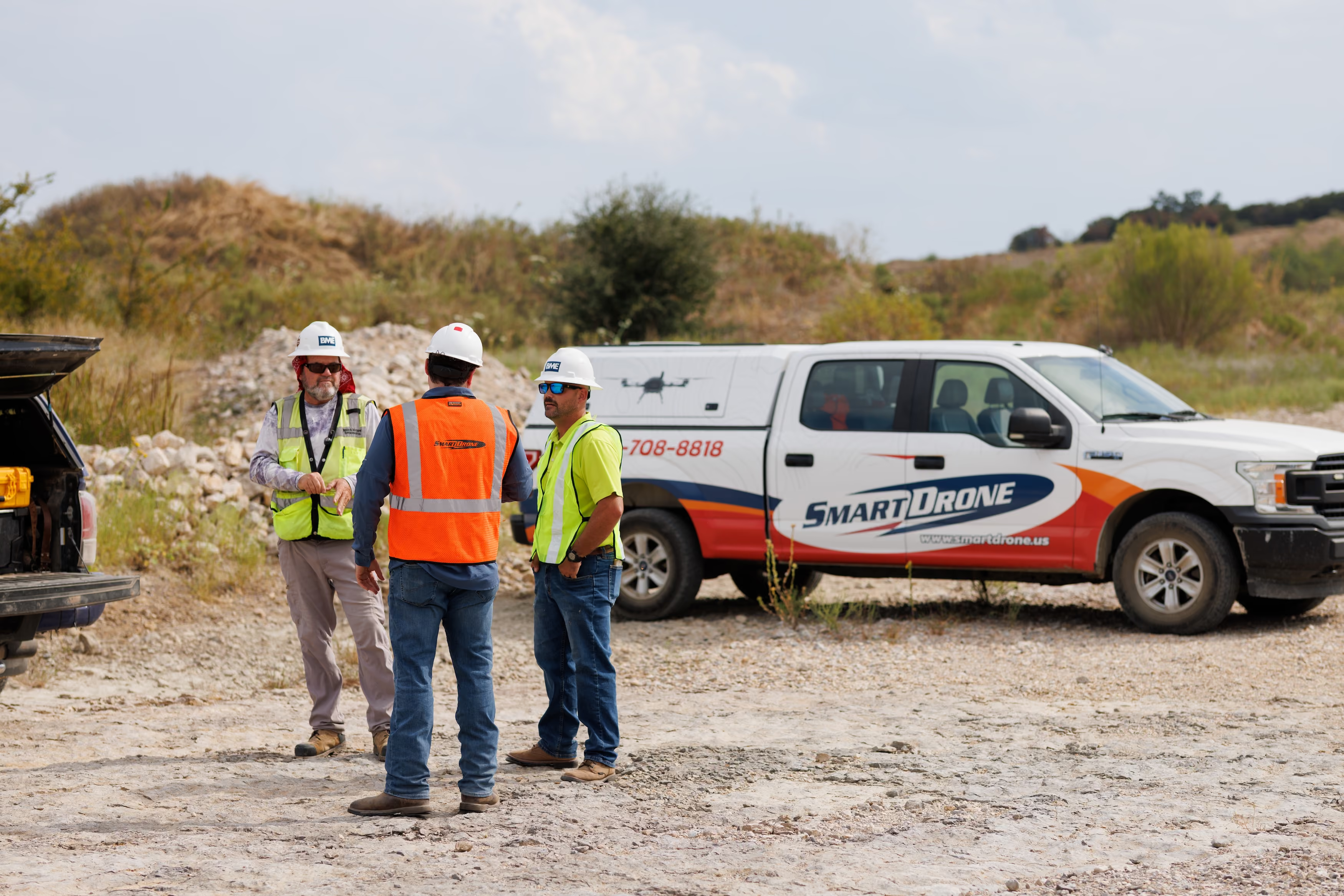
The on-site demo focuses on Magellan setup, deployment, and flight. After processing, we’ll schedule a separate data review with our ASPRS data scientist.
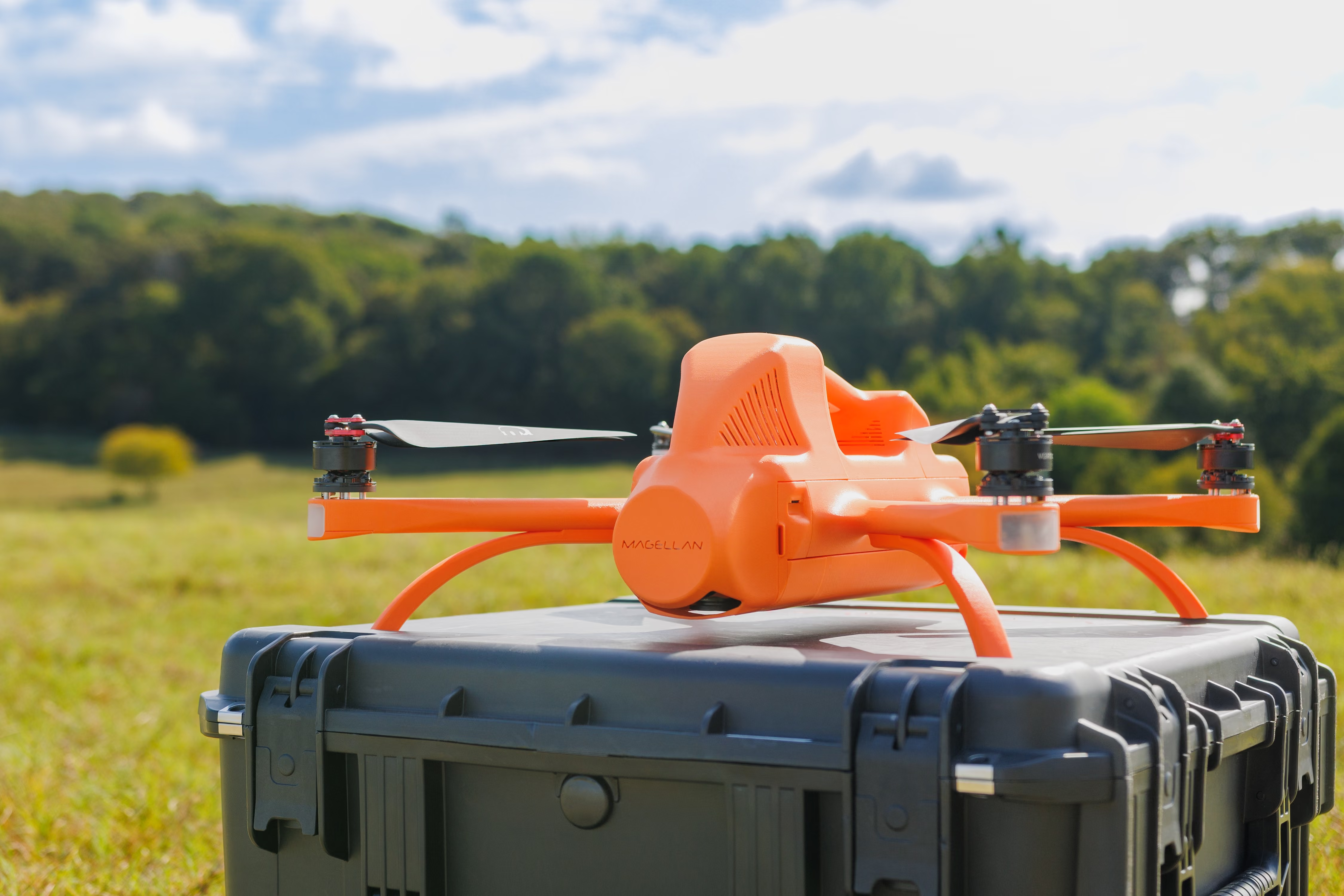
Set Up & Deploy Magellan
Our team arrives with the mission already planned. See how straightforward it is to set up and deploy Magellan.
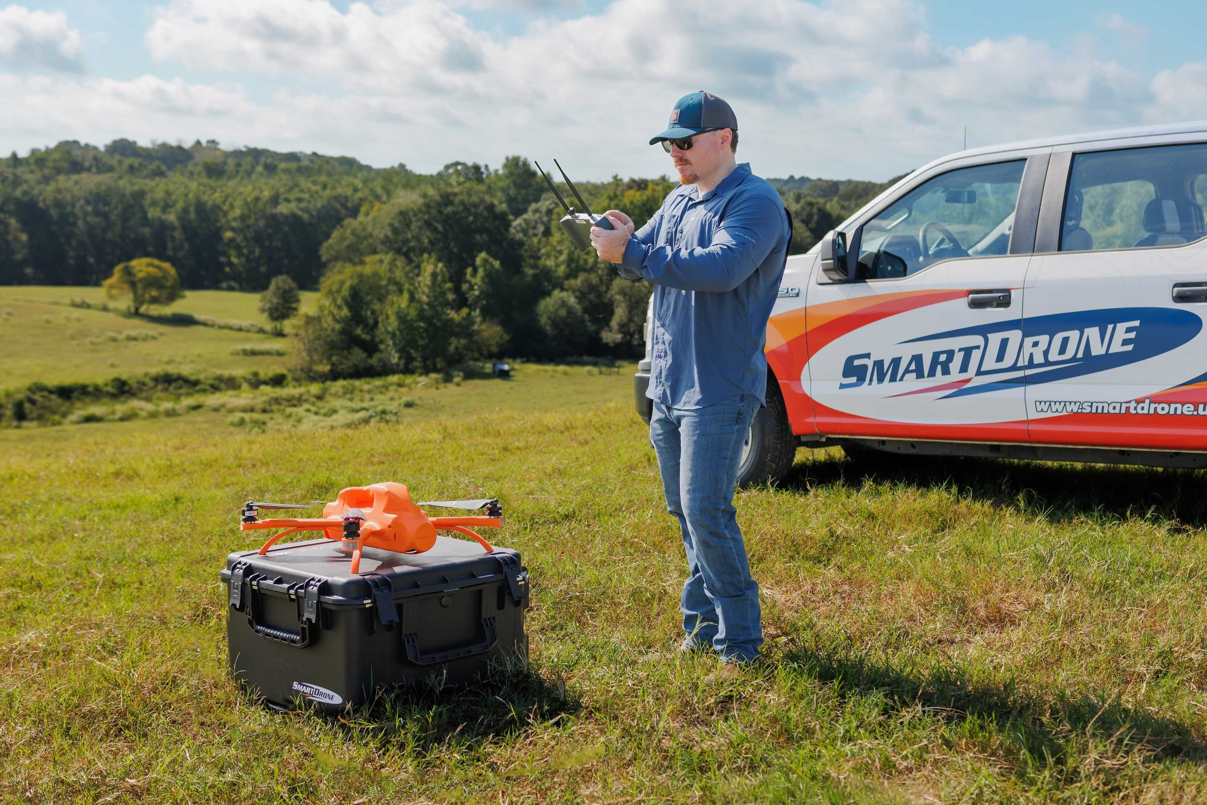
Fly Your Job & Collect Data
Watch Magellan fly the planned mission and capture LiDAR and aerial imagery on your jobsite.
Review It. Keep It.
Meet with our ASPRS data scientist in a separate follow-up to review the processed results. Then keep the data from your job for free.
Make the Demo Work for Your Job
Choose a job you have scheduled, work you do regularly, or a project type you want to take on. Evaluate Magellan on a site that matters to your team.
Fill out the form to get the conversation started. No obligation.
Planned Before We Arrive
We’ll confirm the site and flight conditions in advance and arrive with the mission planned, ready to walk you through setup and deployment.
Coordinate On Control
We can bring our own base station or coordinate around your existing base station or survey control. We’ll work out the arrangement before the demo.
Don’t Just See the Drone.
Keep the Data.
Review the processed results with our ASPRS data scientist, then keep the deliverables from your job for free.* We’ll agree on the outputs that fit your demo job during planning.
*Free processed-data deliverables cover up to 250 acres. 2D or 3D linework and planimetrics are excluded.
.avif)
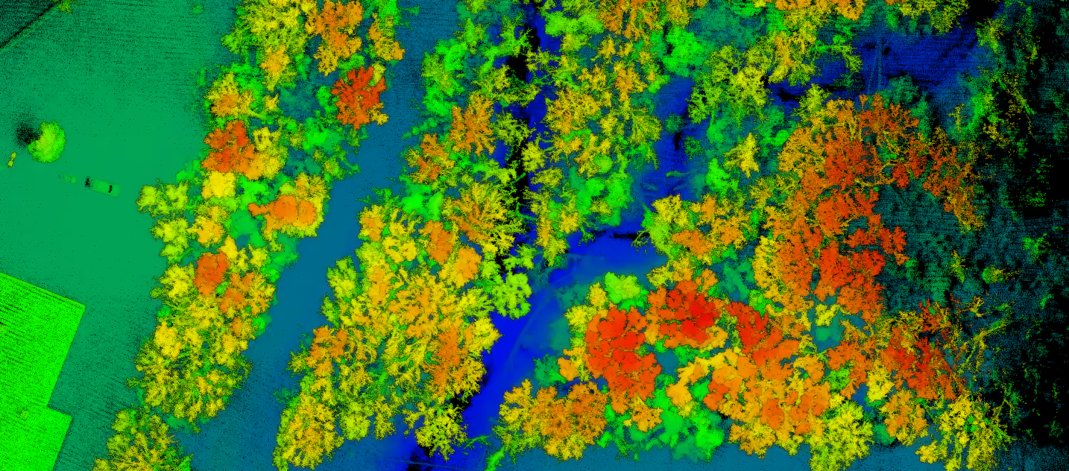
LiDAR Point Clouds
Ground-classified LAZ data for topographic surveying and terrain modeling.
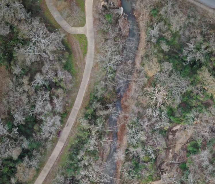
Orthomosaics
Aerial imagery for site context, feature identification, and project documentation.
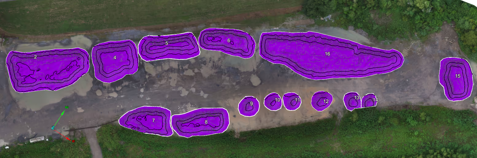
Volumetrics & Volume Reporting
Volume calculations and volumetric reports for stockpile or earthwork jobs, where relevant to your demo.
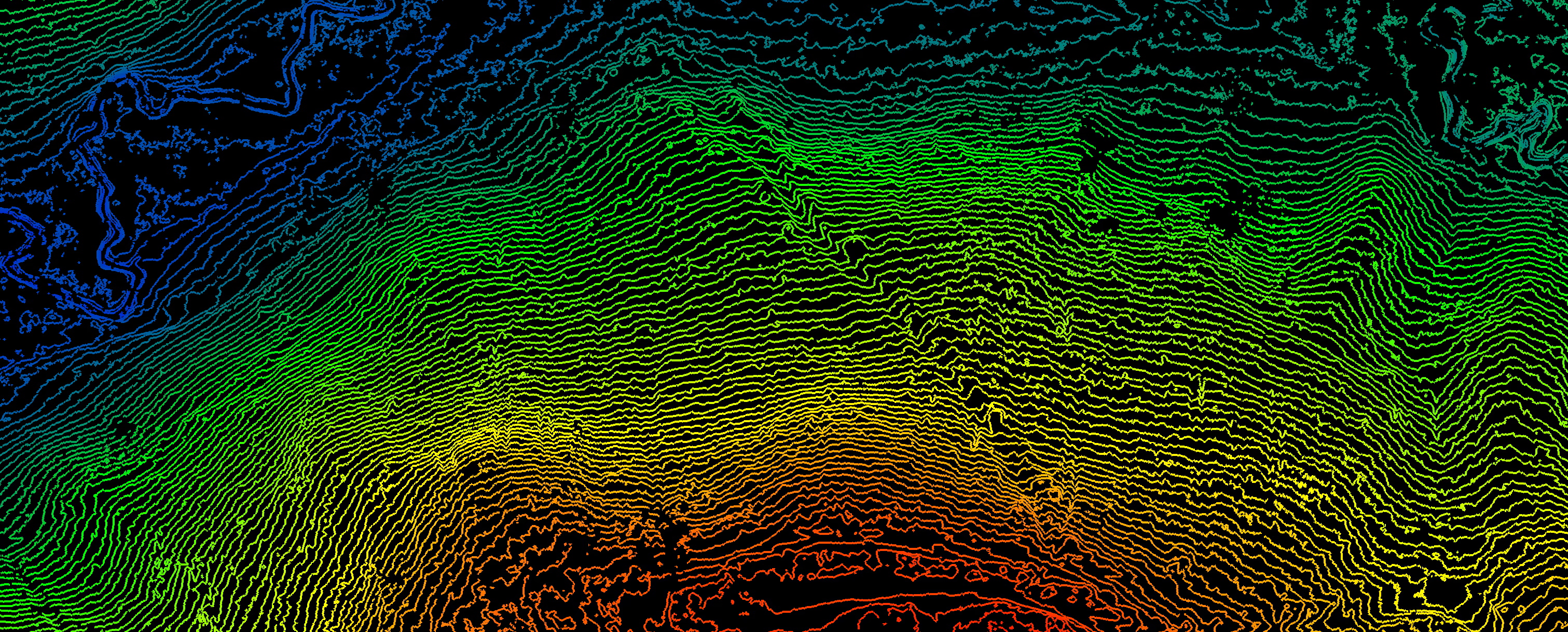
CAD-Ready Deliverables
Contours, grids, and Civil 3D DWG surfaces for your CAD workflow, as relevant to the job.
Trusted by Survey Professionals
"SmartDrone is our trusted go-to for all drone surveying needs! ...They’ve come through for us on several tight-deadline projects, and each time they’ve exceeded our expectations. Reliable, responsive, and efficient—highly recommend!"


"The SmartDrone team is professional, responsive, and always willing to go the extra mile to ensure we get exactly what we need. Partnering with them has truly elevated the services we offer to our clients. We highly recommend SmartDrone..."


A Simple Path to Your Demo
Start with a planning conversation. We’ll choose a relevant job, prepare the mission, and arrange the flight and follow-up data review.
No obligation to purchase.
Fill out the form to get the conversation started. No obligation.
Tell Us About Your Job
Share a scheduled job or the kind of work you want to evaluate. We’ll discuss the site, goals, and deliverables.
Confirm the Site & Schedule
Confirm the site, schedule, and base or control arrangements. Our team plans the mission before arriving.
Fly, Review & Keep Your Data
See Magellan deploy and fly on site. After processing, review the results in a separate session with our ASPRS data scientist and keep the data for free.*
Demo FAQs
A few things survey teams usually want to know before requesting a demo.
How much does the demo cost?
Free means free: the in-person demo, follow-up data review, and processed data from your job are all included at no cost. Deliverables cover up to 250 acres; 2D or 3D linework and planimetrics are excluded. There is no obligation to purchase.
Where does the demo take place?
We’ll plan around a job you have scheduled or a site relevant to the work you do or want to do. We’ll confirm the location, permissions, and flight conditions before arriving.
How long does a demo take?
The on-site timing depends on the job and flight conditions. We arrive with the mission planned, walk through setup and deployment, and fly. The processed-data review is scheduled separately afterward with our ASPRS data scientist.
Can you fly one of our projects?
Yes, that’s the idea. We’ll choose a suitable real job together and agree on the outputs in advance. We can bring a base station or coordinate around your existing base station and survey control.
Do we get to keep the data?
Yes. After a separate review with our ASPRS data scientist, you keep the processed data from your job for free. Depending on the job, outputs can include LiDAR point clouds, orthomosaics, contours, CAD-ready surfaces, and volumetric reports. Free deliverables cover up to 250 acres and exclude 2D or 3D linework and planimetrics.
Who should attend?
Owners, surveyors, project managers, field leads, and anyone responsible for evaluating or operating your drone mapping workflow can benefit from attending.
Do we need to be ready to purchase?
While there is no obligation to purchase or join our Membership, we only schedule demos for firms that are seriously looking for a solution and that Magellan is the right fit for the work they perform.
Let's Put Magellan to Work
Tell us about your business, and let’s explore whether Magellan is the right fit for your team.
Fill out the form to get the conversation started. No obligation.